Kamenski Monastery Ascension of the Lord

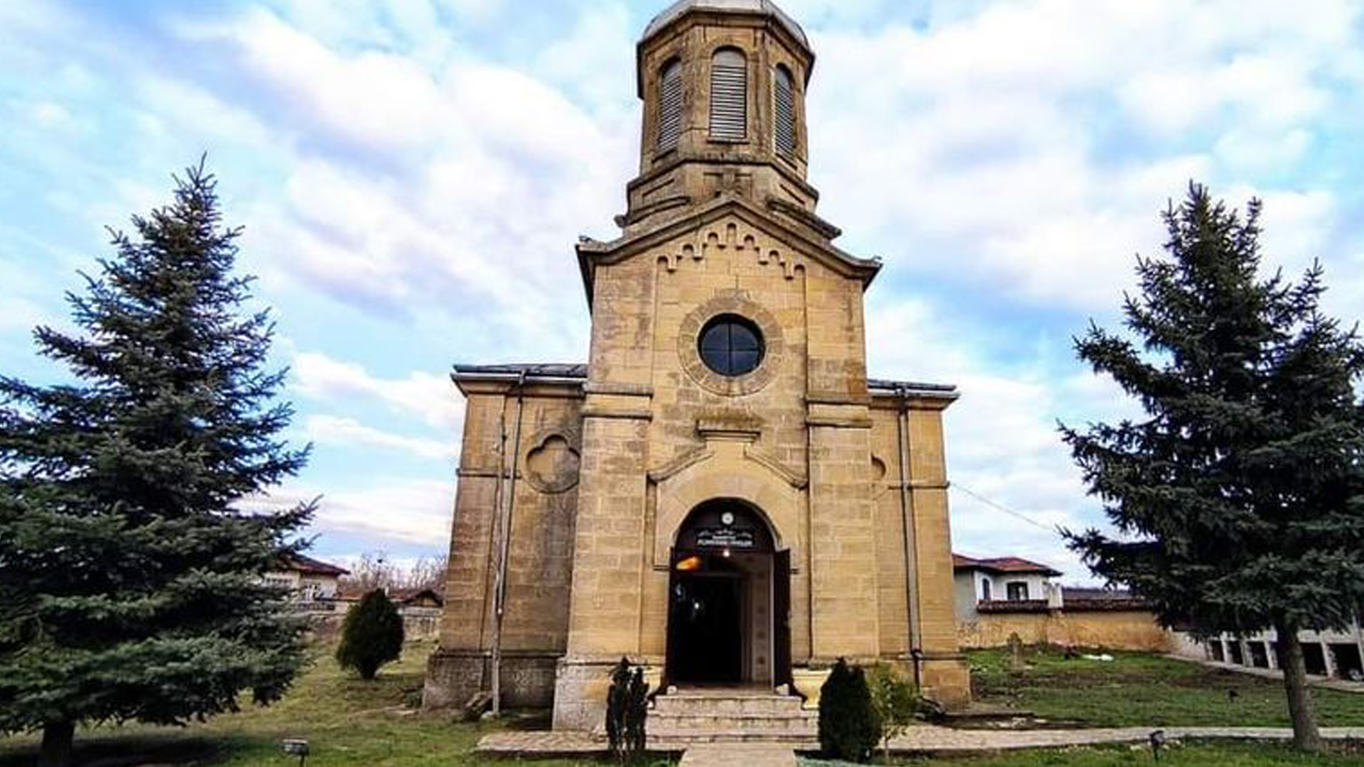
The Kamenski Monastery of the Ascension of the Lord is located just 300 meters from Eco Camping "The Village." The place where the monastery stands has always been considered sacred. The current monastery was built around a church from 1906, which impresses with its architecture. The Kamenski Monastery is situated in a picturesque area, where it is believed that the air and water have healing properties.

Thracian-Roman Rock Sanctuary Badzhaliya

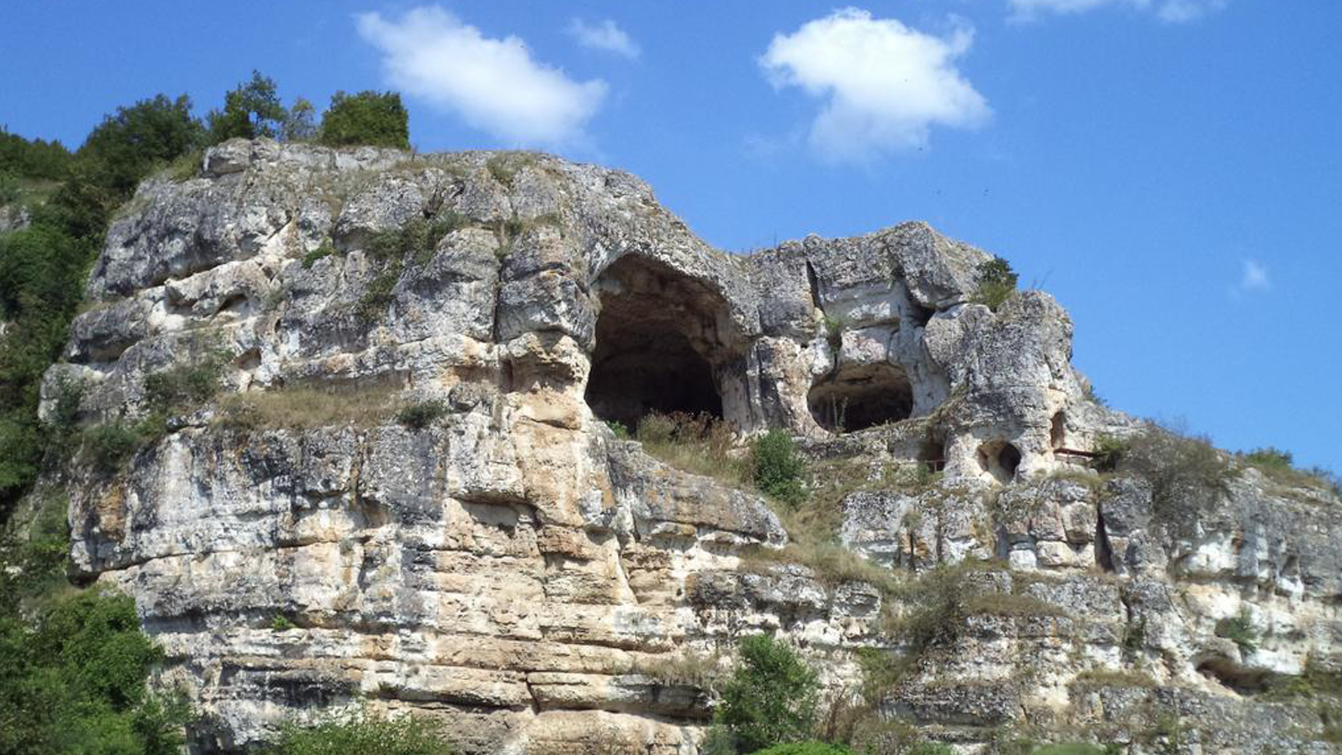
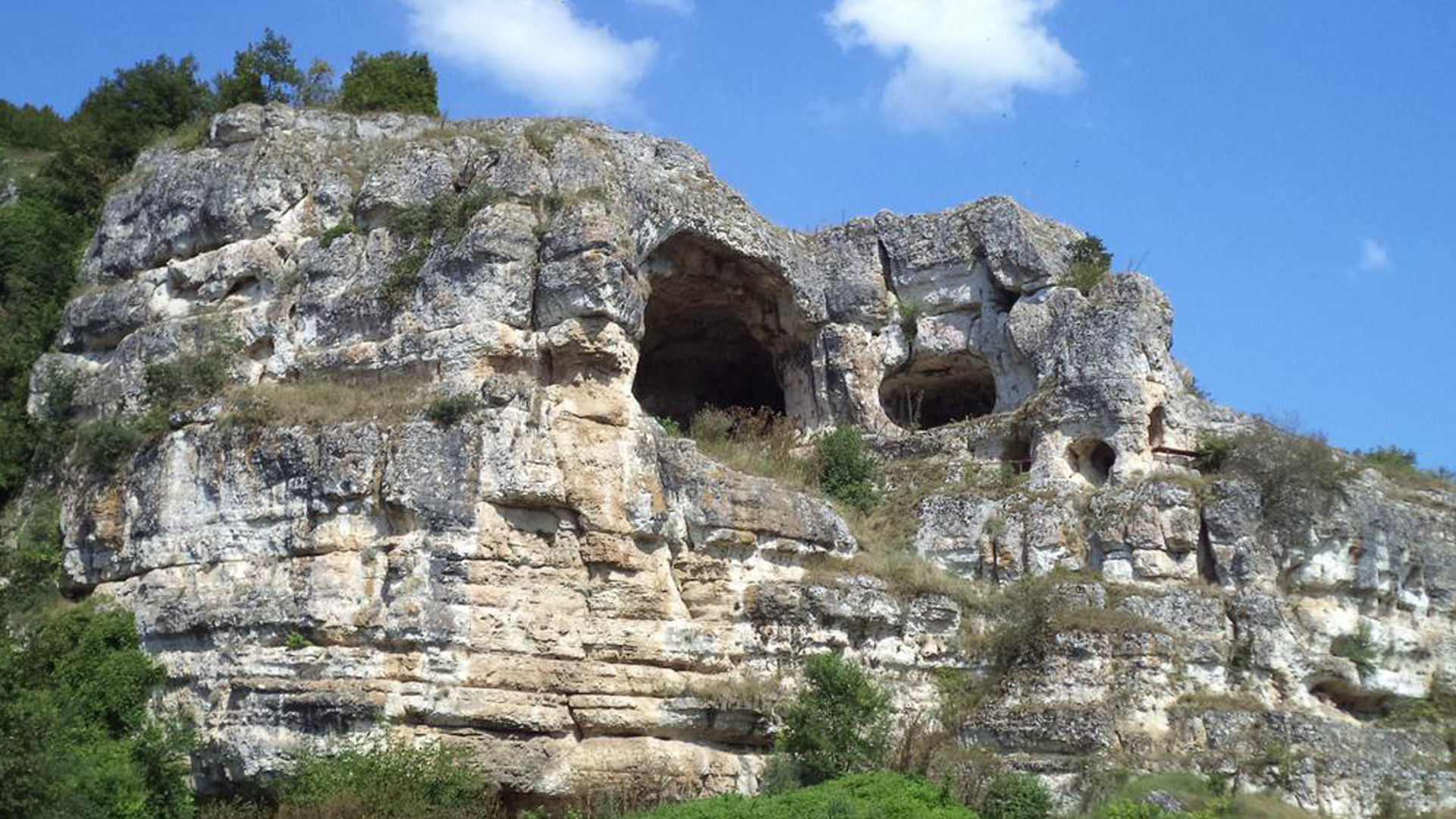
The sanctuary is located in a large natural cave, known to the local population as "Badzhaliya." It measures approximately 7x10 meters with a height of about 6 meters. To reach it, there is a steep path and tunnel carved into the rock, which was once closed by a wooden door. South of the cave, a large, meticulously carved niche has been created, which undoubtedly served as a temple altar, oriented east with a diameter of 3.5 meters. Near the mound, there is a rock throne, and above the cave, a cult pit has been discovered. About 200 meters from the cave, there is a high rock, with a perfectly aligned summit. On this trapezoidal platform, measuring 3.50x3.00 meters, a groove, 0.18 meters wide and 0.45 meters deep, has been carefully carved, oriented north-south.

GPS Coordinates:
43.93495000, 27.41653200

Shan Kaya Rock Monastery Complex

The sanctuary is located in a large natural cave, known to the local population as "Badzhaliya." It measures approximately 7x10 meters with a height of about 6 meters. To reach it, there is a steep path and tunnel carved into the rock, which was once closed by a wooden door. South of the cave, a large, meticulously carved niche has been created, which undoubtedly served as a temple altar, oriented east with a diameter of 3.5 meters. Near the mound, there is a rock throne, and above the cave, a cult pit has been discovered. About 200 meters from the cave, there is a high rock, with a perfectly aligned summit. On this trapezoidal platform, measuring 3.50x3.00 meters, a groove, 0.18 meters wide and 0.45 meters deep, has been carefully carved, oriented north-south.

GPS Coordinates:
43.82125727, 27.59588599

Rock Monastery Vŭlchanova Staya

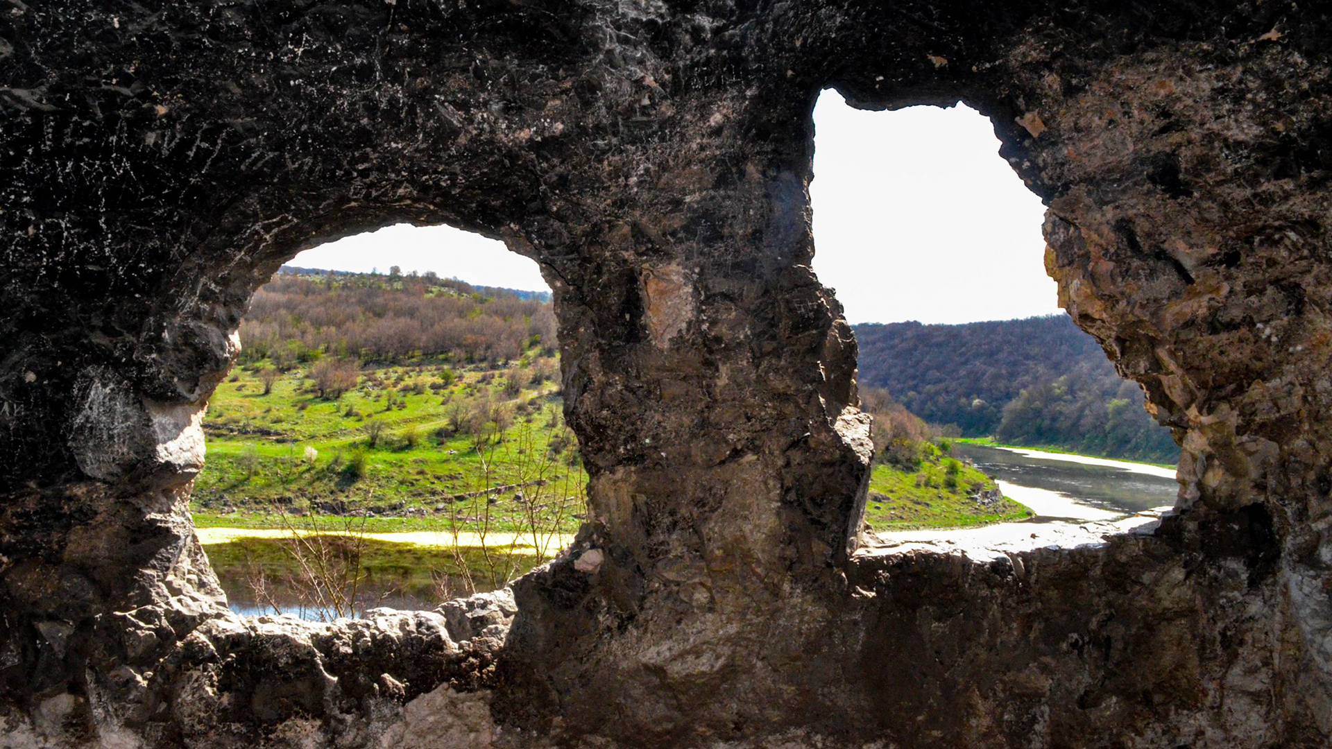
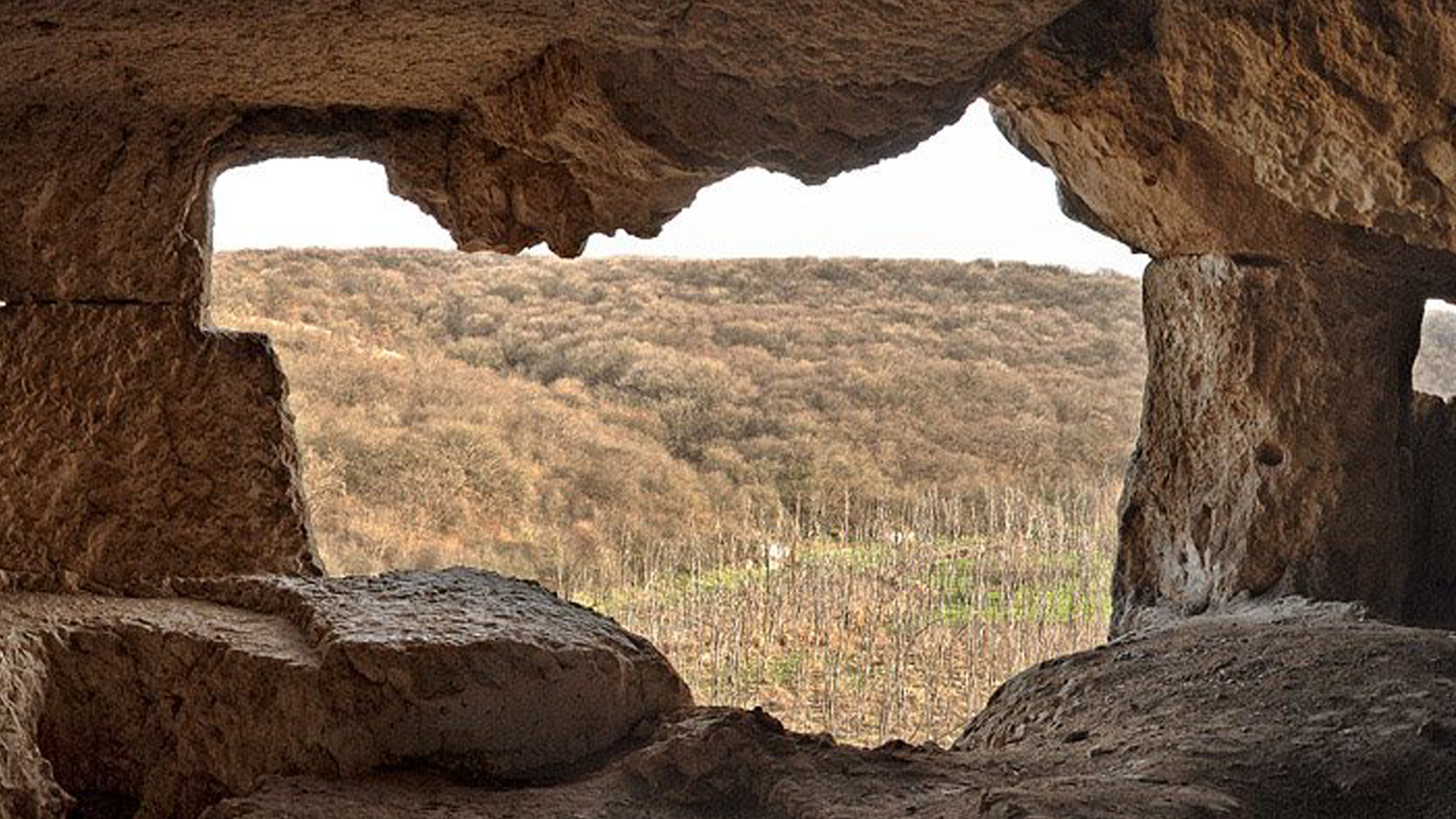
The Vŭlchanova Staya Rock Monastery is located to the east of the abandoned village of Brestnitsa, in the Tervel municipality, along the valley of the Dry River. Access to the rock church is difficult due to the lack of a clearly visible path. The monastery consists of two niches—rooms carved into the rock on two levels. Carved stone steps lead to the room on the second floor. The monk's cell features a vaulted apse in the rock church. Through the windows of the rock rooms, visitors can enjoy an incredibly beautiful view of the valley of the now-dried river.

GPS Coordinates:
43.88750109, 27.58975983

Rock Complex Sandŭkli Maara – Onogur

The "Sandŭkli Maara" rock complex is located on the right bank of the Dry River, past the so-called "Monetarnitsa". It consists of two interconnected shaft openings, through which, by wooden stairs, one ascends to the "third" floor, where an expansive three-part room can be found. The walls, floor, and ceiling are precisely carved, and in the northernmost part of the complex lies the church—a ossuary. In fact, the more accurate term might be a memorial chapel, as the purpose of this complex, as a classical example of martyrial rock architecture, is clear. The system of interconnected shaft openings is common to all rock complexes in the Dry River region. From the top floor of this unique martyrial "maisonette," a beautiful view of the Dry River region is revealed.

GPS Coordinates:
43.81592670, 27.62145280

Medzhidi Tabia Fortress

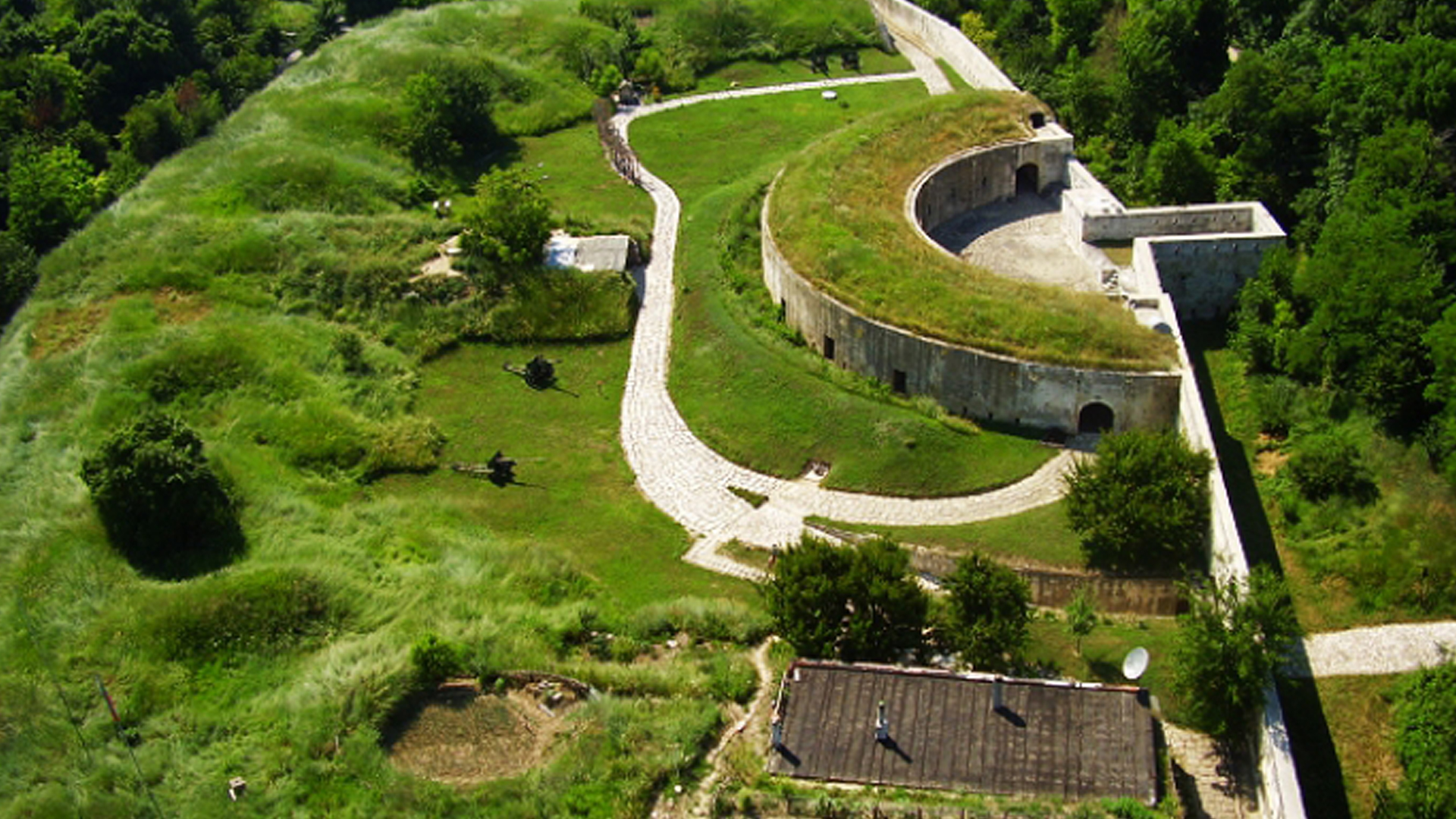
Medzhidi Tabia is a fortress located south of Silistra, part of the Ottoman fortification system used during the Crimean and Russo-Turkish wars. The fortress was built between 1841 and 1853. In 1847, it was visited by Sultan Abdul Medjid, after whom it was named—Medzhidi Tabia. The fortress has a hexagonal shape and reaches a height of up to 8 meters. The moat located directly next to it served as an obstacle and for camouflage purposes.

GPS Coordinates:
44.10400863, 27.25723033

Historical Museum – Silistra

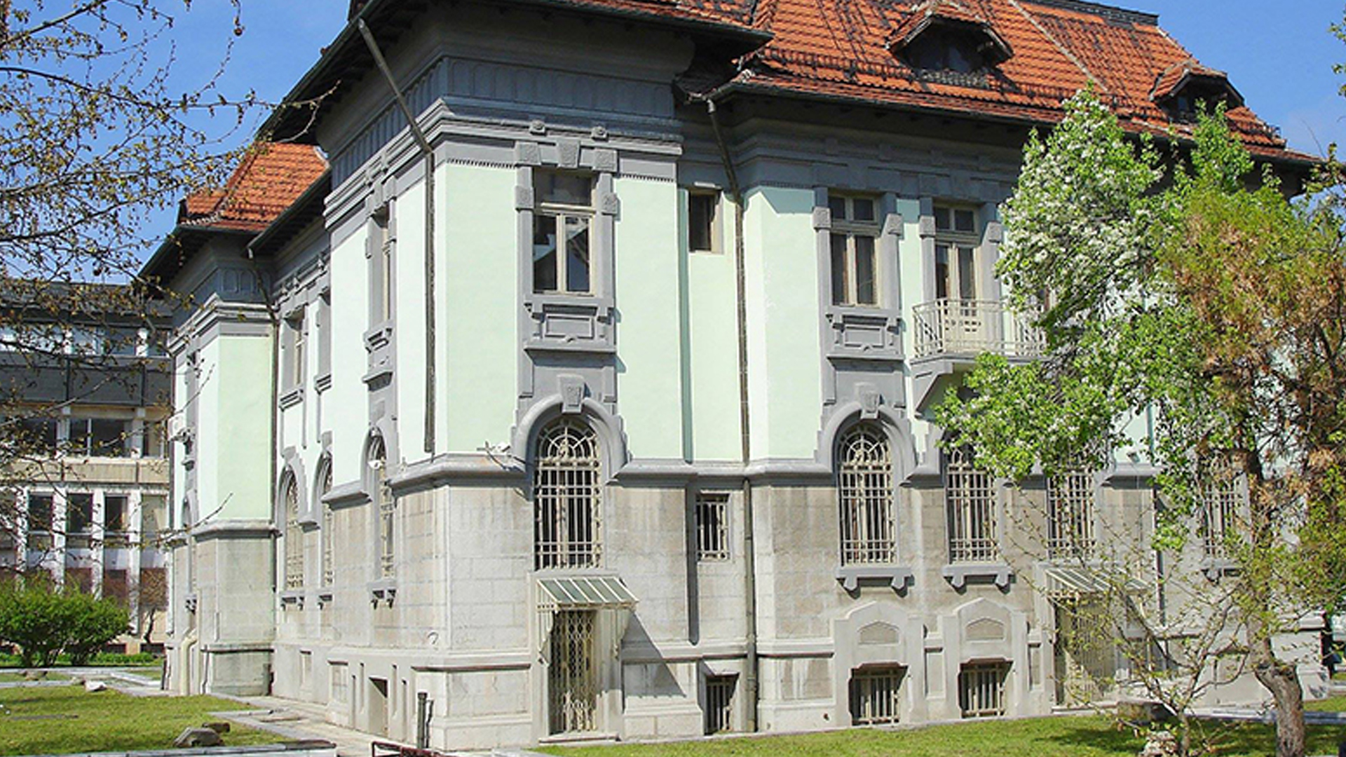
The Historical Museum in Silistra preserves and presents the history of Silistra and its surroundings from ancient times to the present day. The museum first opened its doors on January 11, 1899. Two exhibitions are on display: archaeological and ethnographic. The museum preserves monuments of Roman and medieval Bulgarian culture that hold national and global significance. Part of the museum's exhibition includes several sites near Silistra, such as the Archaeological Reserve Durostorium – Drastar – Silistra, the Turkish fort Abdul Medjid, the Thracian rock complex, and more.

Srebarna Reserve
Srebarna Reserve

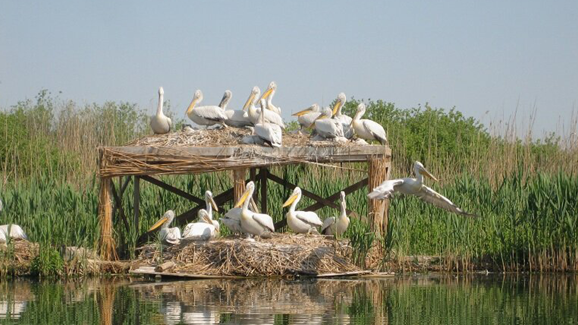
The Srebarna Nature Reserve is located near the village of Srebarna, 16 km west of Silistra and 2 km south of the Danube River. The natural history museum displays an exhibition of stuffed inhabitants, and a camera set in the swamp allows visitors to observe the pelicans from the museum itself. The flora and fauna of the reserve are exceptionally diverse. All activities are prohibited, and people can only pass through designated paths. The famous traveler Felix Kanitz once said about the reserve: "Srebarna is the Eldorado of waterfowl!"

Ethnographic Museum Old Dobrich

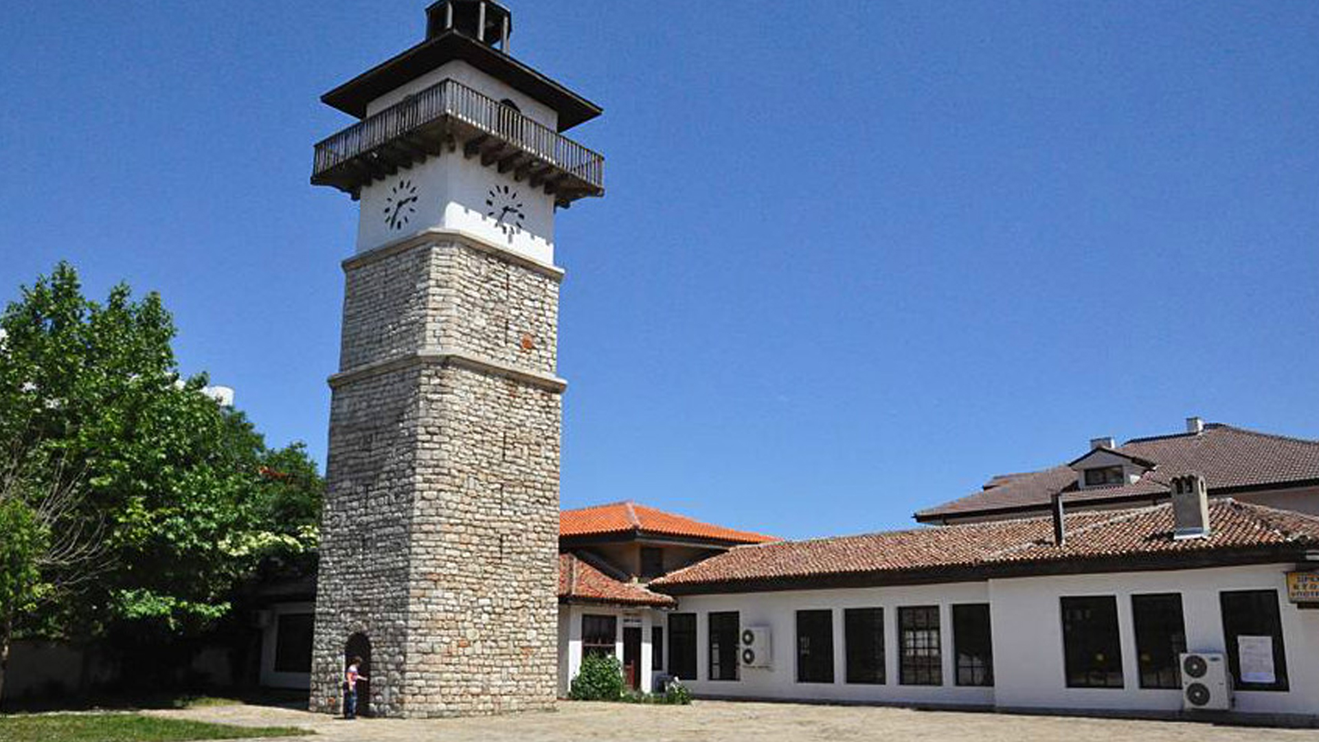
The Ethnographic Museum of Old Dobrich is an open-air museum where characteristic Dobrujan crafts are preserved and demonstrated. It is located in the center of Dobrich city. In the exhibition hall of the museum, there is a reconstruction of a Renaissance school. The museum hosts folk performances, demonstrates the intricacies of various crafts, and offers educational programs for making items using old techniques with traditional tools.

Zoo Center Dobrich
Zoo Center Dobrich

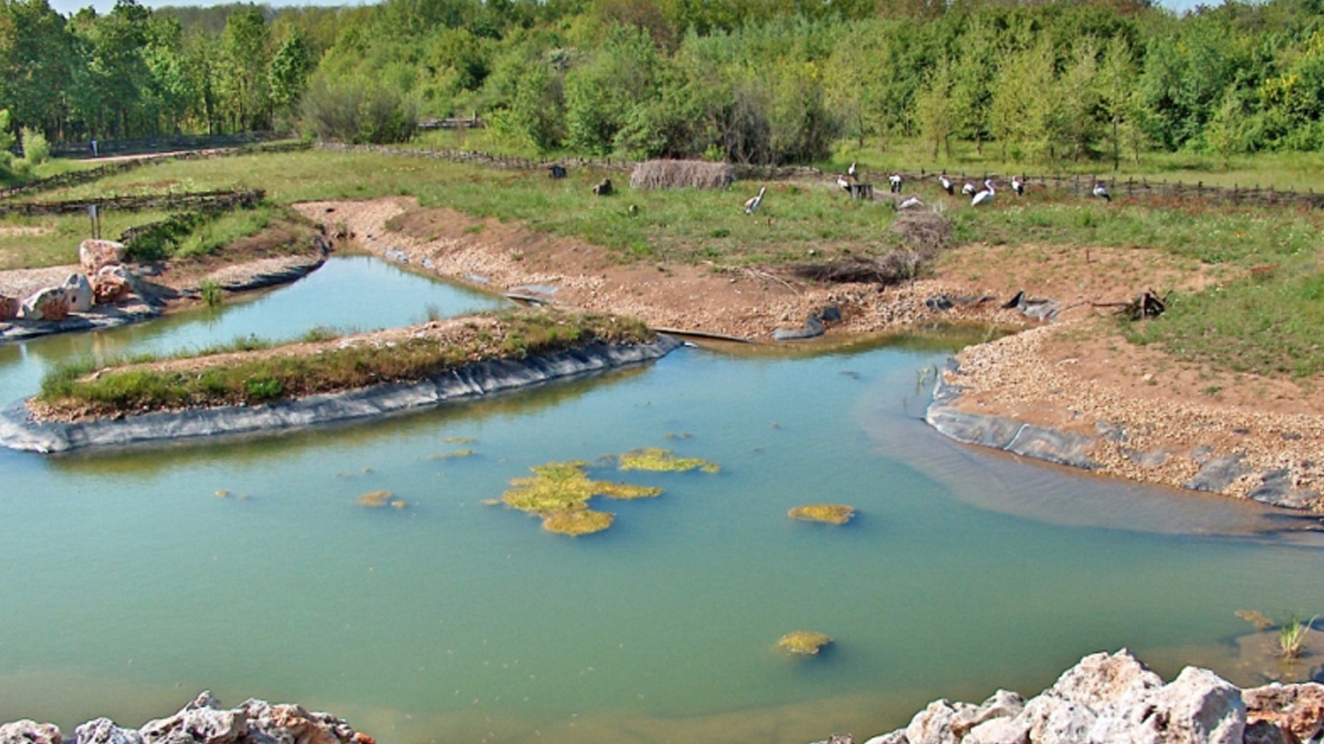
The Nature and Animal Protection Center is located in Dobrich and is unique not only for Bulgaria but also for Eastern Europe. It was created as part of a Bulgarian-Swiss project, covering an area of 160 hectares, with abundant 40-year-old trees and shrubs, along with suitable transportation and pedestrian connections. It is the first officially recognized zoological garden in Bulgaria. Visitors can enjoy a tour with a llama, pony, or donkey-drawn cart.

Historical Fountain in Kainardja Village

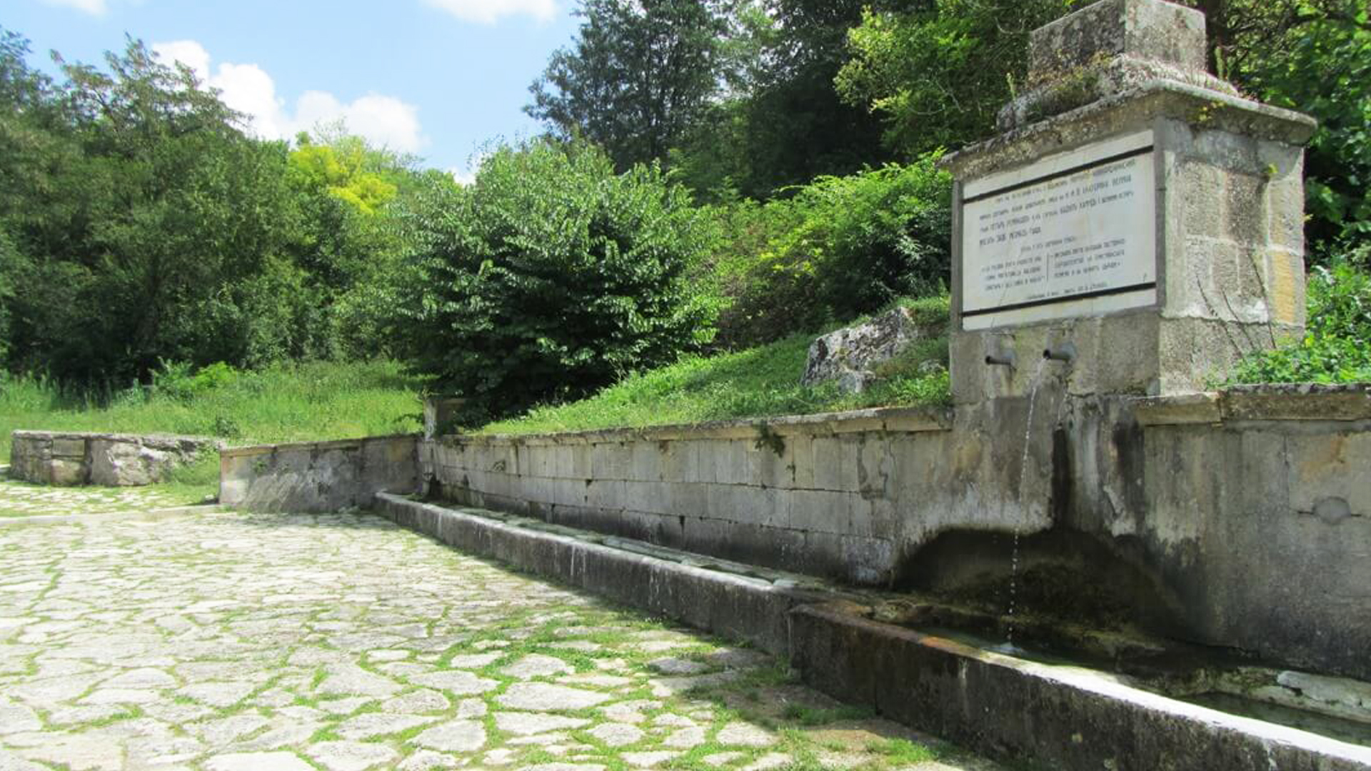
The historical fountain in Kainardja village was built in 1892 at the site where the Russo-Turkish War ended on July 21, 1774, with the signing of the Treaty of Küçük Kaynarca between Russia and Turkey. The fountain was reconstructed in 1942, during which a marble commemorative plaque was installed. Further landscaping work was carried out in 1962 and 1974 to complete the site. The fountain is a cultural monument.

Svetscharska Tomb
Svetscharska Tomb

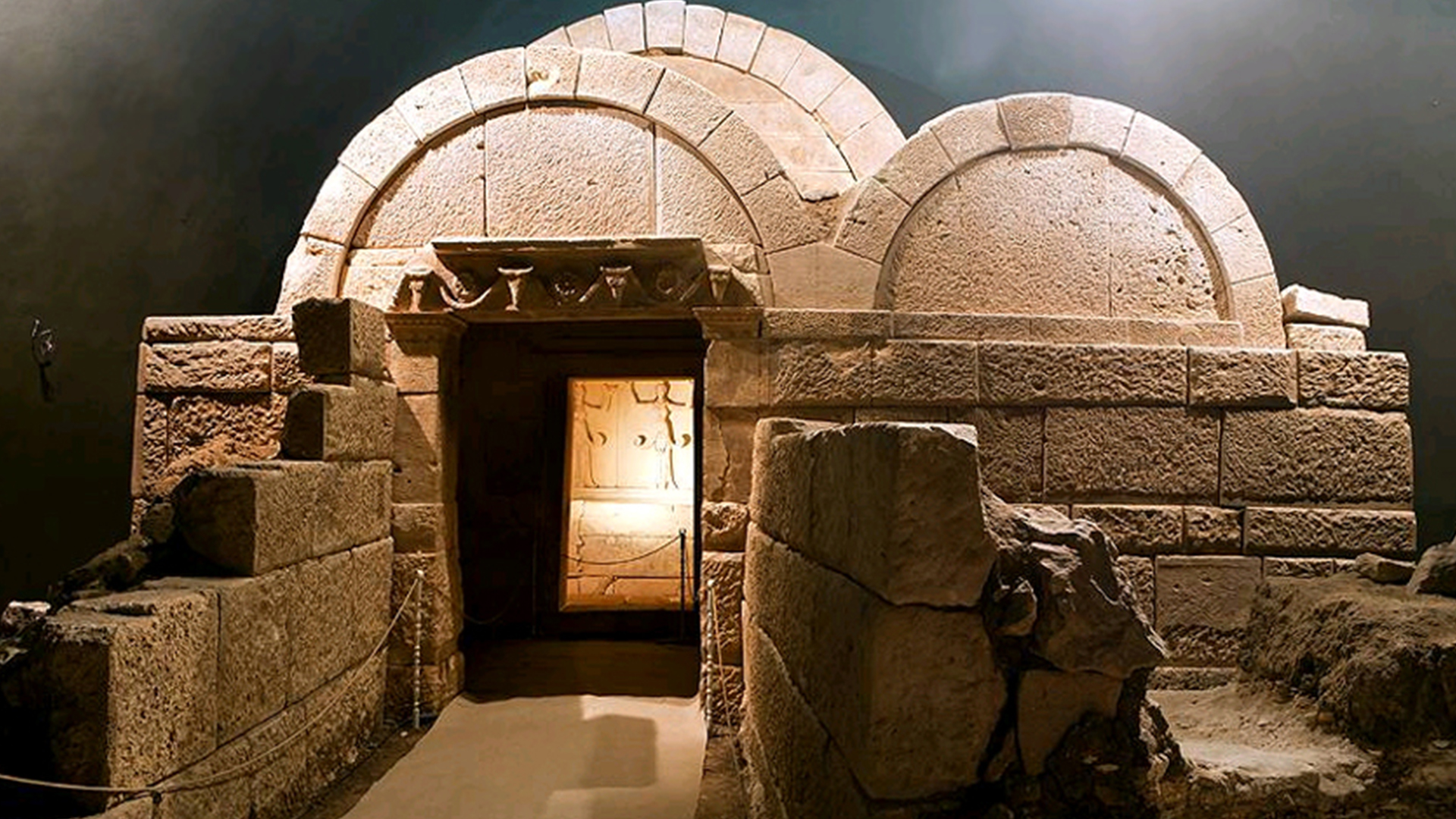
The Svetscharska Tomb is located near the village of Svetschari, 42 km from Razgrad. It is a royal Thracian-Hellenistic tomb dating back to the 3rd century BC. It is believed that the Getic ruler Dromihete was buried here. The tomb, along with the 26 preserved mounds found around it, has been declared an archaeological reserve.

Pliska
Pliska

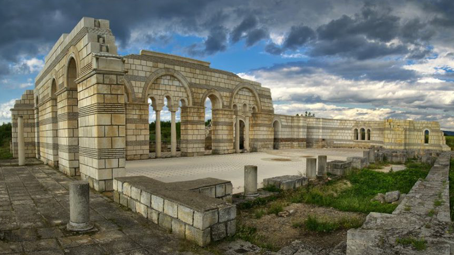
The National Historical and Archaeological Reserve of Pliska is located in the town of Pliska, Shumen province. The reserve consists of archaeological excavations that reveal the urban planning of the first Bulgarian capital. Today, Pliska is a small settlement, but its ruins uncover a distant and magnificent world. Here, you can explore the old city, which is divided into two parts — the inner and outer sections. The most well-preserved structures are the city gate and the basilica, which was a center of Bulgarian culture and literacy, where the disciples of Cyril and Methodius most likely worked.

Madara Horseman
Madara Horseman

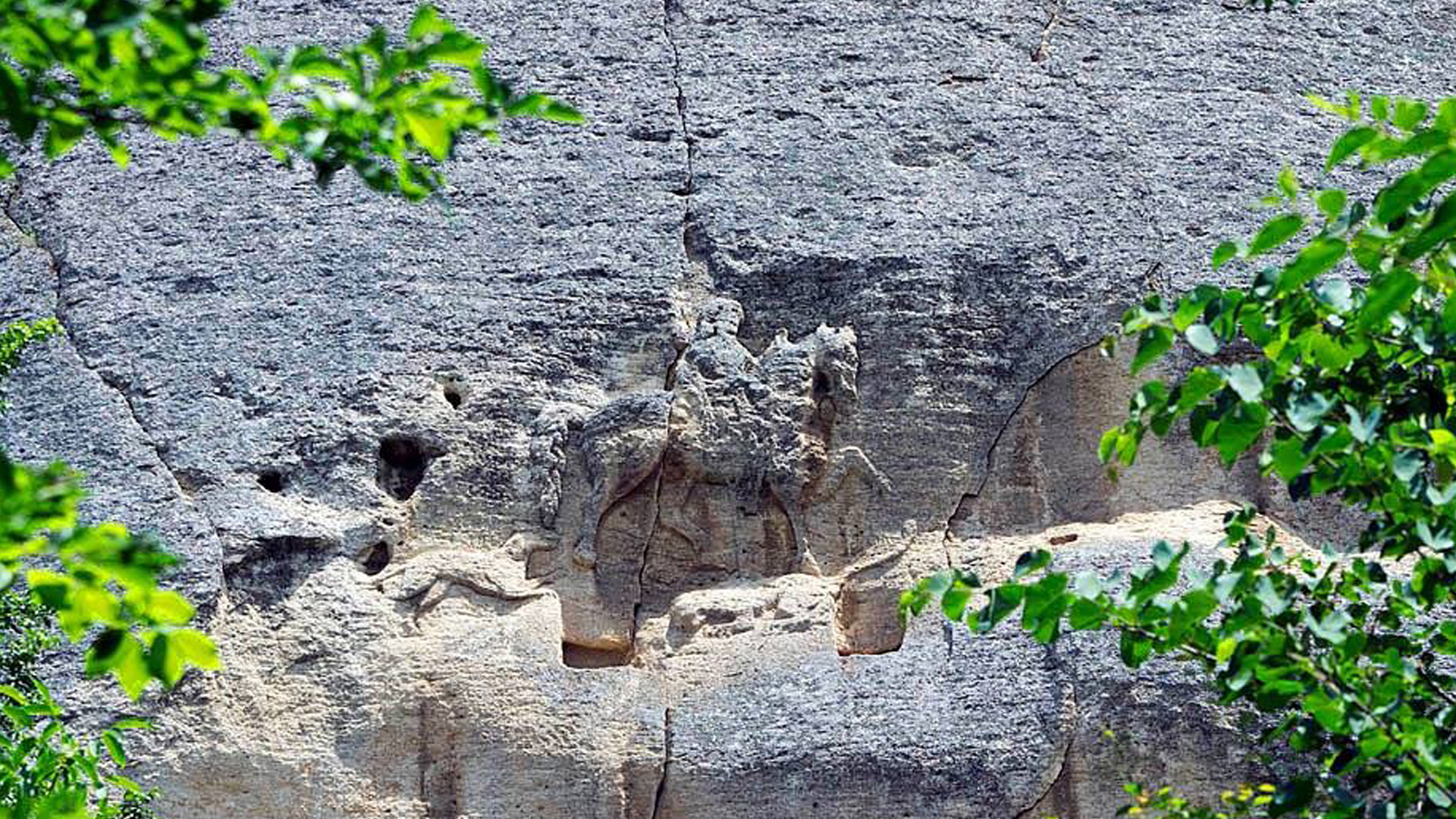
The medieval rock relief of the Madara Horseman is located near the village of Madara, 20 km from the town of Shumen. The monument is carved 23 meters above the ground. Archaeological evidence suggests that the relief was created in the 8th century by the Proto-Bulgarians as a symbol of the grandeur of the Bulgarian state. According to some theories, the horseman represents Khan Tervel, while others suggest it depicts Khan Omurtag. The Madara Horseman is the only preserved rock relief in Europe from the medieval period.

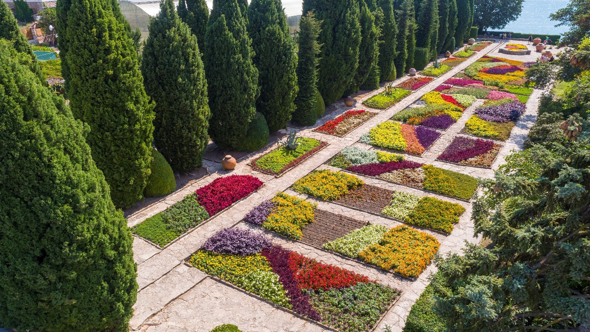
Botanical Garden – Balchik

The Botanical Garden in the town of Balchik was established in 1955, when the park's land was given to Sofia University for its creation. The garden specializes in the cultivation of tropical and exotic collections. It hosts over 3,500 species of plants, some of which are rare and endangered according to the Washington Convention. A large part of the garden is registered as a protected area.

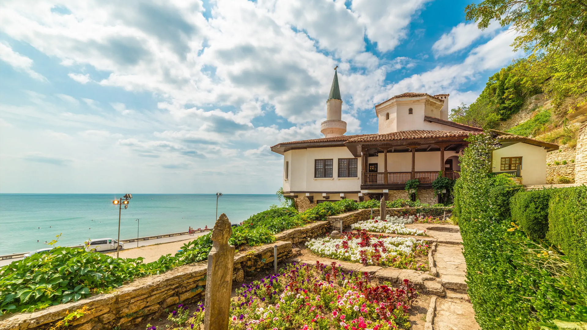
Palace in Balchik
Palace in Balchik

The architectural and park complex of the Palace was the former summer residence of Queen Marie Alexandrina Victoria de Edinburgh (1875 – 1938) of Romania. Her heart, according to her will, was placed in a small golden chest and returned to the "Assumption of the Virgin" chapel in the Palace, from where it was sent back to Romania in September 1940. The Palace is located about 2 km southwest of the center of Balchik. It consists of a complex of villas and other buildings situated along the seaside. A botanical garden covers an area of 194 decares. Restored watermills are now used as part of the hotel facilities of the complex.